
France’s motorway network spans several thousand kilometres and connects almost all of the country’s major cities. Each route has its own characteristics: layout, toll arrangements, traffic levels and facilities available at service areas. Understanding how the network is structured makes it easier to choose a route that suits your budget, vehicle and preferred journey time.
Tolls, journey time and charging: the three factors to consider when planning a motorway journey
When planning to cross France by motorway, the usual instinct is to choose the shortest route. This overlooks two factors that can have a significant impact on the actual cost of the journey.
The first is the cost of tolls, which is governed by the concession agreements held by each motorway operator. Two routes of similar length between the same cities can have significantly different toll costs, depending on the sections used. Historical toll increases have not followed exactly the same pattern as inflation, as reported by Franceinfo.
The second factor concerns electric vehicle drivers. Service areas on the concession network are now equipped with charging stations, but network coverage does not guarantee the same charging capacity everywhere. Available power varies from one service area to another, and stopping at a slow charger can add an hour or more to your journey. Before choosing a route, it is worth checking the actual charging speeds available along the way.
By consulting the map of motorways in France, you can quickly see the main corridors and alternative routes, making it easier to compare a direct journey with a cheaper or better-equipped detour.

Major north-south routes: from Paris to the Mediterranean and beyond
The backbone of France’s motorway network consists of several north-south corridors that start in or around Paris.
The Paris-Lyon-Marseille route via the A6 and A7
This is the busiest corridor in the country, nicknamed the “Autoroute du Soleil” (Sun Motorway). It connects the capital to the Rhône Valley and then to the Mediterranean coast. Traffic is particularly heavy during the summer holiday changeover periods, and the combined tolls for the entire route add up to a considerable amount.
The Paris-Clermont-Ferrand-Béziers route via the A71 and A75
A lesser-known alternative for reaching the south, this route crosses the Massif Central. The A75 has a rare distinction: most of it is toll-free, except for the section crossing the Millau Viaduct. For drivers looking to keep toll costs down, this corridor can make a real difference, although the terrain calls for more careful driving.
The Paris-Bordeaux route via the A10
This corridor serves Tours and Poitiers before reaching Bordeaux. It continues towards Spain via the A63, in the direction of Bayonne and the border. Tolls on the A10 are among the highest on the network, prompting some drivers to look for alternatives using national roads for part of the journey.
East-west routes and cross-country links: connecting the Atlantic with the eastern borders
East-west connections have long been a weak point in the network. Several recently completed sections have improved the situation, sometimes amid controversy over how they are funded.
- The A89 connects Bordeaux to Lyon across the Massif Central. It provides a complete cross-country route between the Atlantic and the Rhône Valley, but traffic remains moderate, making it a comfortable option outside long weekends.
- The A62 and then the A61 connect Bordeaux to Toulouse and Narbonne, forming a southern corridor that joins the A9 towards Montpellier and Spain via Le Perthus.
- The A4 and A35 connect Paris to Strasbourg and serve Alsace, a gateway to Germany. This route is strategically important for European through traffic.
Opening new sections can change the available routes while raising questions about cost. A recently built section often comes with higher tolls to fund the investment, as debates over some motorways in south-western France have shown.
Toll-free motorways and dual carriageways: alternatives worth knowing about
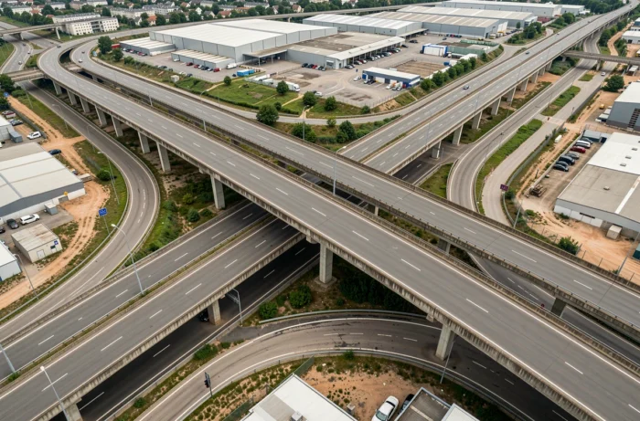
Not all French motorways charge tolls. Several sections, often around major cities or in areas where the state has retained direct management, remain toll-free.
Urban and suburban motorways (the A1 approaching Lille, sections of the A75 in the Massif Central, and stretches of the A20 between Vierzon and Brive) include toll-free sections that can be incorporated into a mixed route. Combining these with dual carriageways (four-lane roads with no tolls) can reduce the overall cost of a journey at the expense of a modest increase in travel time.
The distinction between a concession motorway (toll road), a non-concession motorway (toll-free) and a dual carriageway is not always clear in mainstream navigation apps. Motorways are marked with a blue sign bearing the letter A, while dual carriageways are marked with a green sign. This difference in signage has a direct impact on your wallet.
Choosing a route to suit your vehicle and budget
Choosing a major route across France is about more than calculating the distance. Before confirming your route, it is worth weighing up three factors:
- The total toll cost, comparing the direct route with partially toll-free alternatives. A detour of a few dozen kilometres can lead to worthwhile savings on a Paris-to-Mediterranean journey.
- The vehicle’s powertrain. For an electric vehicle, checking the charging speeds at each planned service area helps avoid unpleasant surprises. Route planners designed for electric vehicles display this information, unlike standard satnavs.
- Departure time. Traffic levels on major routes (A6, A7, A10) vary considerably depending on the day and time. Taking a secondary route at a different time can offset a slight detour with a similar or even shorter journey time.
France’s motorway network offers enough parallel corridors for the same journey between two cities to have several possible routes. The best option depends less on the raw distance than on balancing cost, comfort and the needs of your vehicle.